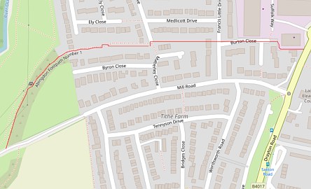
The footpath starts off near Allparts on the Ashville Trading Estate. The red line on the map, taken from https://footpathmap.co.uk, shows that a lot of its length is through houses.
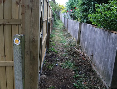
After the electricity substation on Byron Close, the footpath heads between the back garden fences of Byron Close and Ely Close.
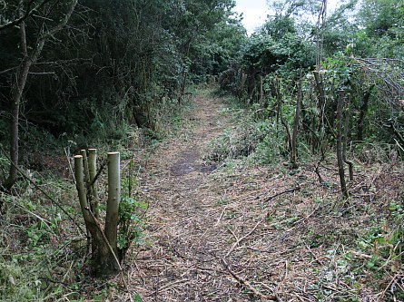
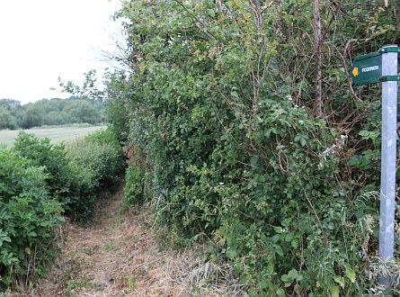
It then opens up a little as the path skirts fields. I have seen it overgrown on some occasions but this year it looks well cut back and walkable in all but one place.
I was sent an email at the start of the lockdown saying that the path had been blocked by a fence. I walked the path for the first time this evening. It is a little dangerous to clamber over one obstacle.
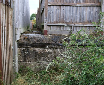
There used to be a dogleg route round the foundation of a WWII shelter. The path has been blocked at this point before and opened up again at the insistence of Oxfordshire County Council. The email is asking for pressure to be put on Oxfordshire County Council so that it is opened again.
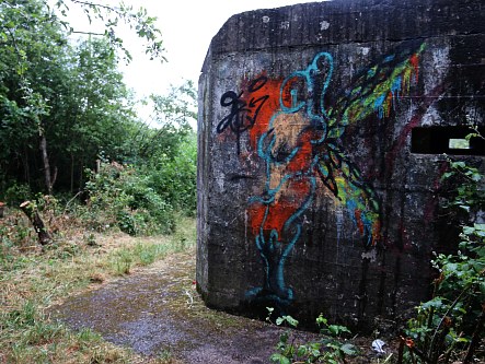
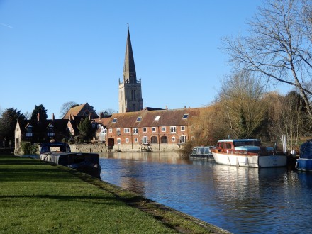
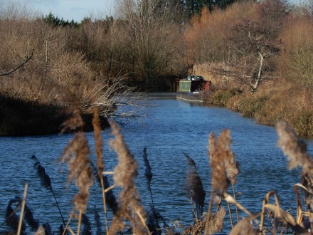
The footpath appears to follow closely the towpath of the old Wilts and Berks Canal and passes another WWII Pillbox.
At the far end is Mill Road.